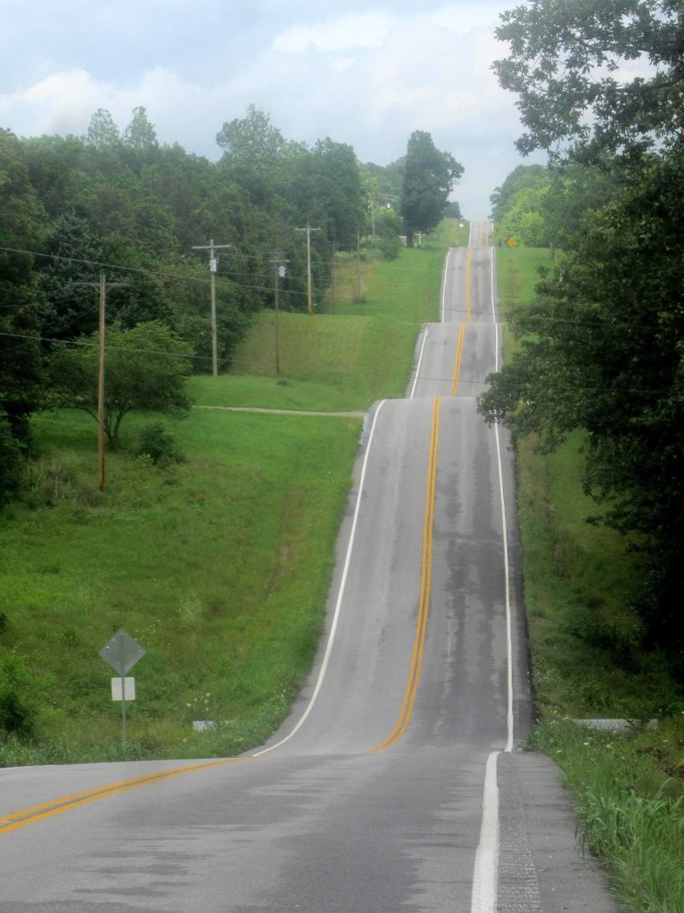
I’ve mentioned that I’m biking through the Ozarks recently. A bunch of people have asked me what the Ozarks are. This post is going to dive into what the mysterious Ozarks are.
Are the Ozarks really mountains? They currently are not as large or dramatic as the Appalachians or Rockies. The Ozarks are not mountains in the typical sense. The mountains in the west are either folded upward or uplifted along faults. Since Iowa, Kansas, Illinois, and Oklahoma are relatively flat, compared to southern Missouri and northern Arkansas, the Ozarks represent a localized area of higher topographic relief. The Ozarks are really a plateau that has been uplifted and then dissected by streams eroding and down cutting through the uplifted area.
The Ozark Range, considered by geologists to be one of the oldest in the world, is a moderately rugged series of deeply eroded hills, sculpted by rivers and wind. The range covers about 40,000 square miles, most of them lying in Missouri. The Ozarks are the only large rugged topography found between the Appalachian and Rocky Mountains.
Fossil evidence shows that 400-500 million years ago, the region was an ocean floor. Then about one million years ago, a high plain made up of layers of sedimentary rock, limestone, and dolomite rose above an ocean that once covered the Missouri region. And this the Missouri Ozarks were born! Then water and wind immediately went to work, sculpting hills and valleys and beneath the ground, the water cut complex underground water systems which would eventually feed into crystal clear streams.
Not only have the Ozark Mountains have been eroded by the elements on their outer surface, the soft limestone has been honeycombed by water percolating through the mantel and lower rock layers. This honeycombed sub-strata has resulted in a tremendous water storing capacity. The entire Ozark Plateau is undermined with a network of hidden water courses, from trickling steams to deep underground rivers. These waterways feed about 500 major springs in the Ozark region. Alley Springs which I visited yesterday is an example of such spring. Welch and Blue Springs on the Current River, and Alley Spring on the Jack Fork of the Current River have an average flow of 65 millions gallons a day.
I can’t see it but the Ozarks are bordered by the Missouri River to the north and the Mississippi Rived to the east, the Arkansas River to the south and the Neosho and Osage Rivers to the west. The peaks of the Ozarks are mostly igneous rocks that were formed by erosion but originated as volcanic eruptions and molten intrusions about 1.4 billion years ago.
There are a couple theories on how the Ozarks formed. The most widely accepted one is that millions of years ago when the parts of the state were being submerged, up-lifted and re-submerged in warm shallow seas. Over time the Ozark region was slowly and continuously uplifted. As the land was pushed upward the topography was shaped by erosion.
I’ve seen a lot of outcrops along the side of the road. I’m pretty sure it’s granite and rhyolite which are types of igneous rocks.
The name ‘Ozark’ is thought to be a corruption of the French expression ‘Aux Arkansas’ meaning ‘to the Arkansas’ (Arkansas means mountains). Then it was shorten go Aux Arks. Because Aux is pronounced like a long O it then was anglicized phonetic spelling of ‘Ozarks’. Also quite possibly Ozark could have come from Bois Aux Arcs, meaning ‘with bows’ referring to an Indian tribe that used hickory wood for their bows.
So there you have it!
